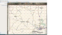
As noted in previous post, the USFS MVUM maps for the area that you are interested in will be the best source of access. These maps should have use designations (open, limited, closed) as they apply to OHV use and they are the definitive (and legal) source for authorized public access. That being said, although they may also note the type of route (i.e., 4WD, ATV, UTV, etc.) they will not tell you everything you might want to know about the route. Many of the 4WD routes open to full-size 4WD routes are high clearance type, very potholed, and rough and may warrant use of an ATV or UTV to get where you want to be in a timely manner. The best method for checking out a route is still actually driving it. Don't trust Google Earth to give you accurate information about the true nature of a route. A phone call or two to the local recreation staff at the Ranger District (USFS) or Field Office (BLM) will also pay big dividends for acquiring useful information about area routes. If you are planning a summer scouting trip, keep in mind that, due to high snowpack condition, USFS and BLM travel routes at many forest and field office areas in the Rocky Mt West will likely experience high runoff and late snowmelt this year so it is likely that many will not be fully open and passable until July.

