rifletuner
WKR
- Joined
- Dec 23, 2020
- Messages
- 505
I recently got back from a week on Boole Poole for the hog deer ballot hunt. THis is one of the only parts of the world where you can hunt free ranging hog deer (Axis porcinus). This is my experience on a self guided hunt with 5 other guys hunting from the same camp on a balloted basis for a designated 5 day period. This hunting block is only available to hunt via the ballot, and 3 groups are allocated a place in 3 specific weeks. Otherwise it is not legal to hunt this area.
Monday morning I was awake at 4:20am and on the way to Bairnsdale by 5:00. I drove straight through and made it to the briefing with just a couple of minutes to spare before the 8:30 start time. Interestingly one of the hunters balloted for Blond Bay was a no-show, so they were down one hunter before they started. The briefing is mandatory, so even if he arrived later he could not hunt in the balloted area.
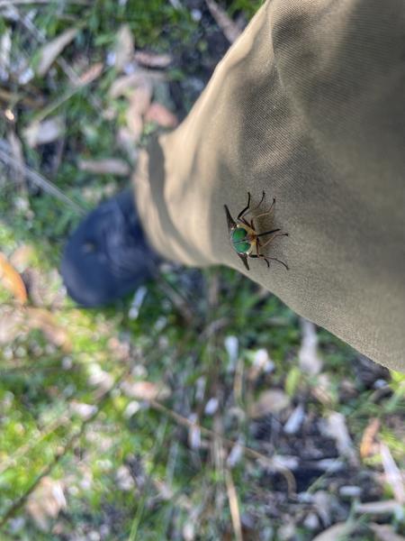
Not much to say about the briefing. We heard from Game Management Authority, Parks Vic and the guy from the hog deer check in station (mandatory check-in of any hog deer taken). They did mention that a private property bordered the hunting area in the east side of the property and that it was well signposted and to make sure we didnt enter any part. The owner is very pedantic and has cellular cameras all over the property. The Parks Vic people said there was a lot of signage that they had posted to delineate the hunting area and that it would be pretty clear on the boundaries (this proved to be very false as neither I nor any of the hunters saw a single Parks sign). They were asked if the new area was signposted and added to the "more to explore" maps, and the answer to both was "no". They mentioned that some residents in the new eastern section were not happy about the addition of that part of the island to the hunting area, and if we were confronted by anyone we should not engage and video the person and submit it to GMA for later investigation. The most disconcerting thing to me was several mentions that snakes were very active, and there were multiple sightings of brown snakes sitting on top of tussocks - which would put them roughly at knee to hip height.
The briefing was over in about an hour and we headed off to get to the island. Four of the six hunters had their own transport on and off Boole Poole. That left another hunter Adrian and myself that needed to book transport. That turned out to be harder than we expected as many of the carter operators we approached said they were unable to do it. In the end Adrian found "Gippsland Water Sports" and they proved very good to deal with.
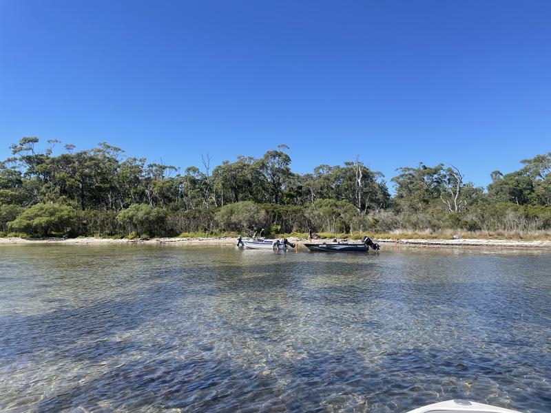
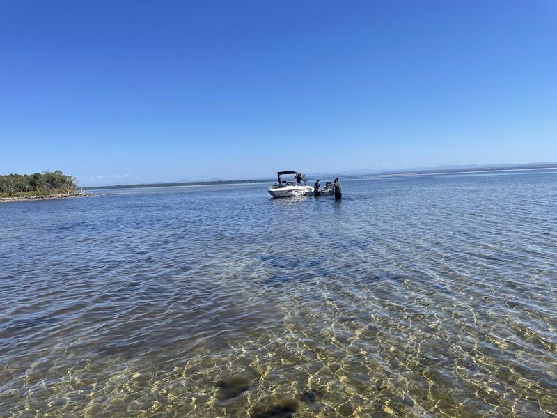
We arrived at the island just before 11:00 am and unloaded. All the others were already there. Our boat could not get as close to the shore as the other smaller craft, but one of the other hunters pushed his boat out and we loaded it up which meant we could get all our gear across in one trip.
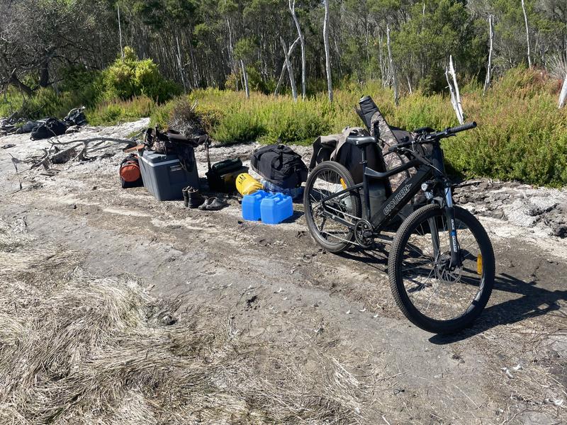
The camping site was mandatory for all of us to camp at. Apparently in prior years it was okay to camp in other locations, but that had been specifically excluded in the briefing. So this meant we had to travel 10km or more east, or 5km or more west to get to the end of the hunting area. On the advice of a friend with a lot of experience, here I bought my son's power assisted mountain bike to help me cover the ground. By the time we were set up at the campground and worked out roughly where we were all heading, it was about 1:00pm. I went east to try to find water holes to sit over. In the briefing Parks Vic did mention that "apparently the road is fairly overgrown". We had a fairly warm week, with temperatures most days with lows of around 60, and highs of around 80. The hottest day was a high of around 90.
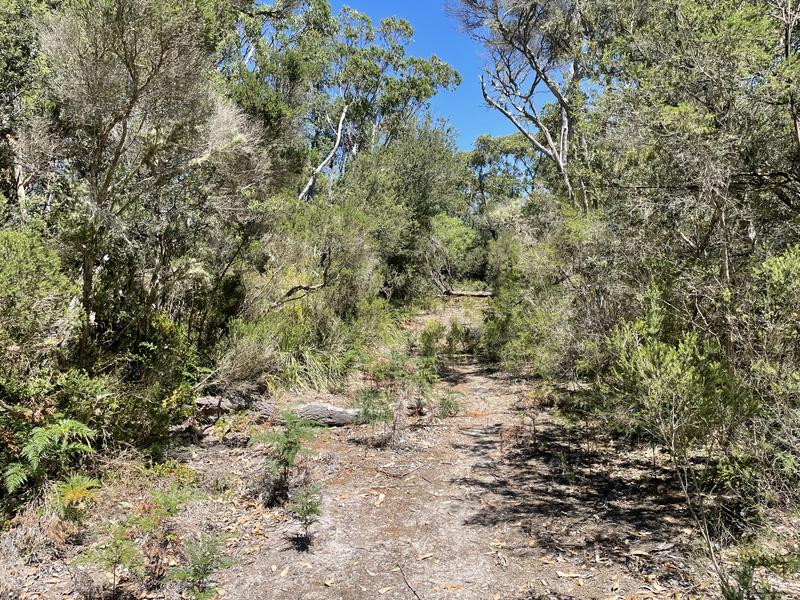
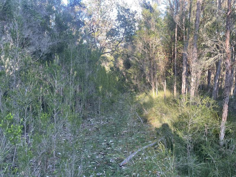
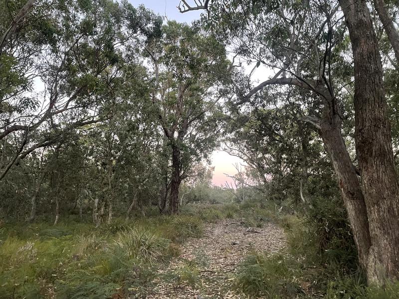
This is a view of the road east at the campsite. This proved to be the least overgrown and easiest (relative term) to ride a bike on.
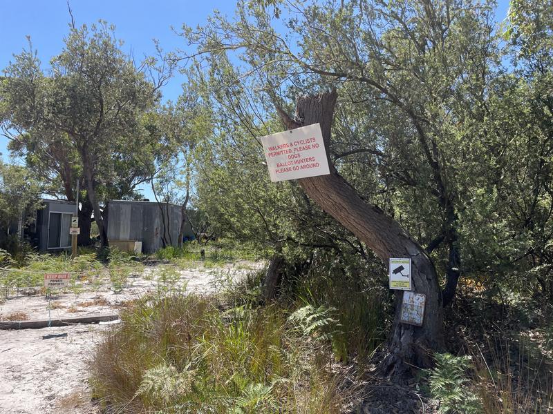
I found the start of the private property and went around it as requested. He had a lot of "keep out" type signage around his whole boundary. Apparently he was flying a drone over the hunters in period one.
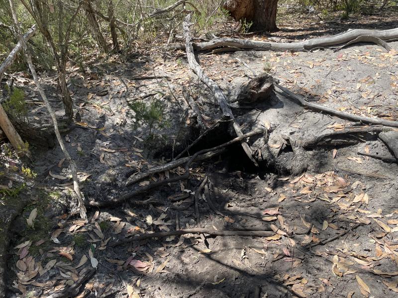
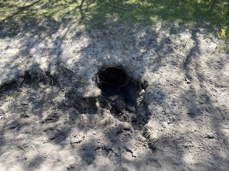
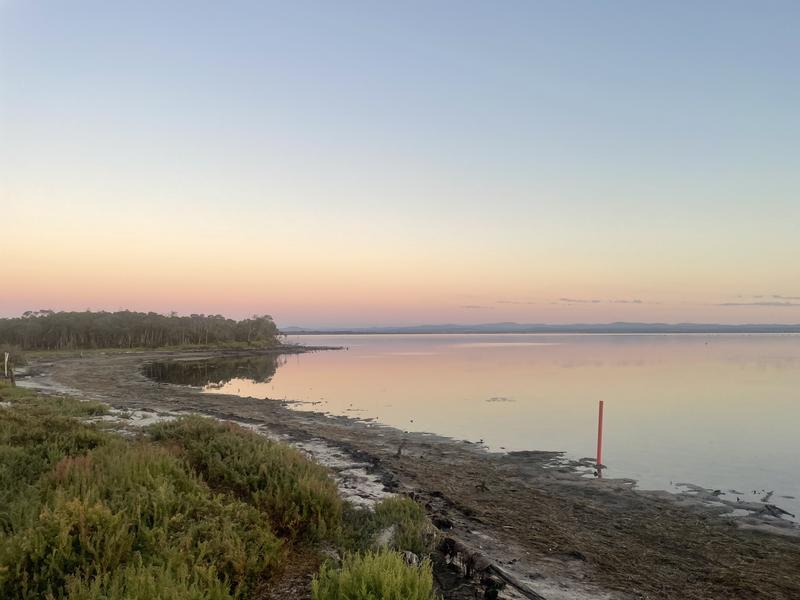
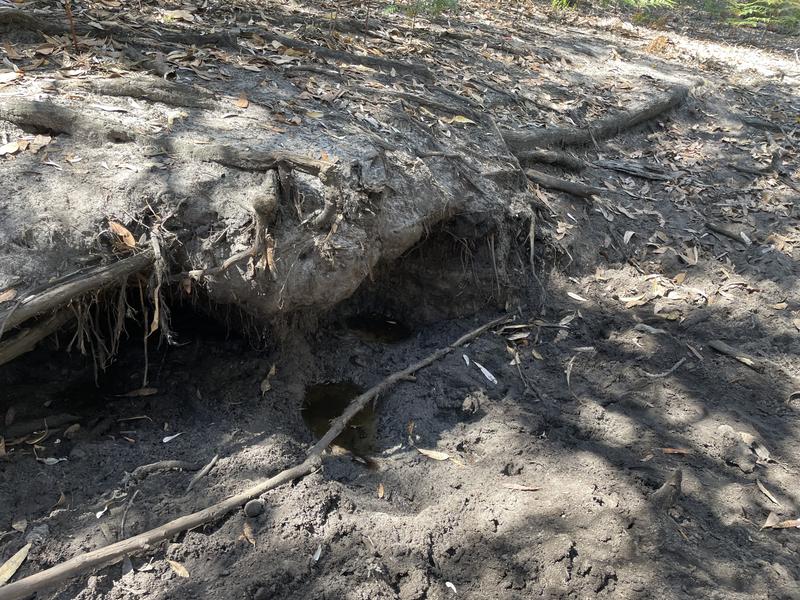
My goal was to find water to sit over for the rest of the week. I had a list of GPS coordinates of water holes compiled by my friend and I used this to guide where I looked for water. This proved to be much more difficult than I expected. On the first day, everywhere I looked proved to be dry and inactive.
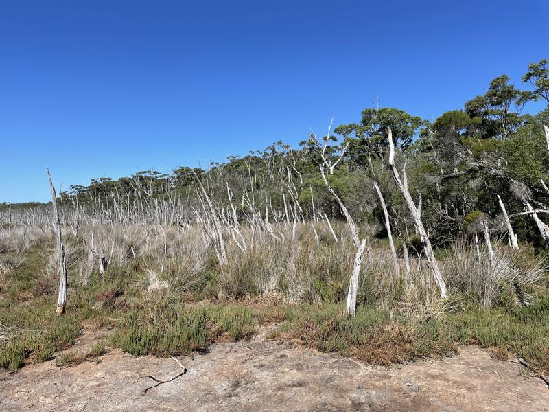
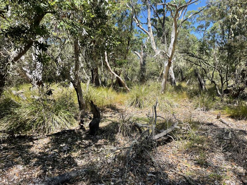
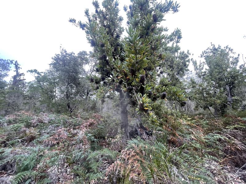
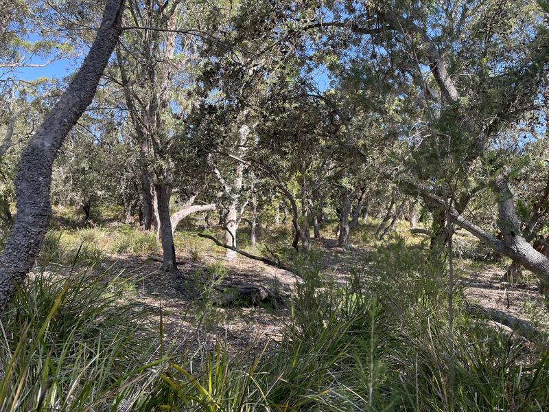
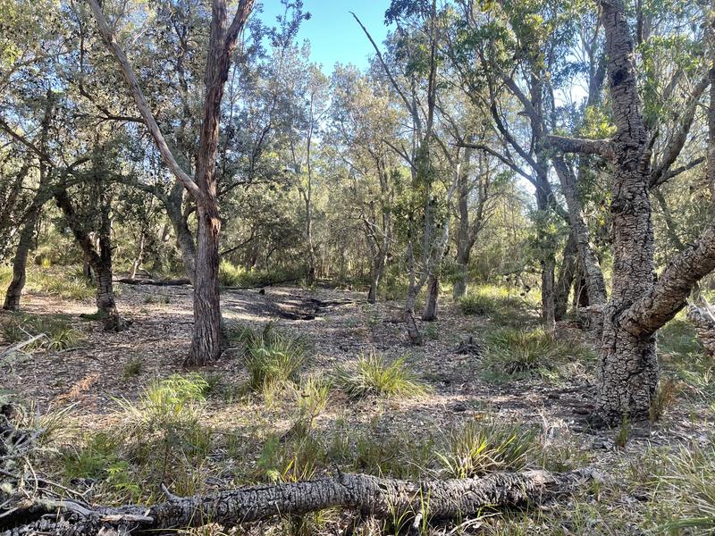
Some of the countryside on the east side from the shoreline and from the road that afternoon.
The round trip Monday afternoon was around 12km. I was running my GPS as little as possible to preserve battery life so distances are a bit guesstimated. It was tough going and I had sweated a lot. My trip east had been a bust and I was none the wiser at the end of the day.
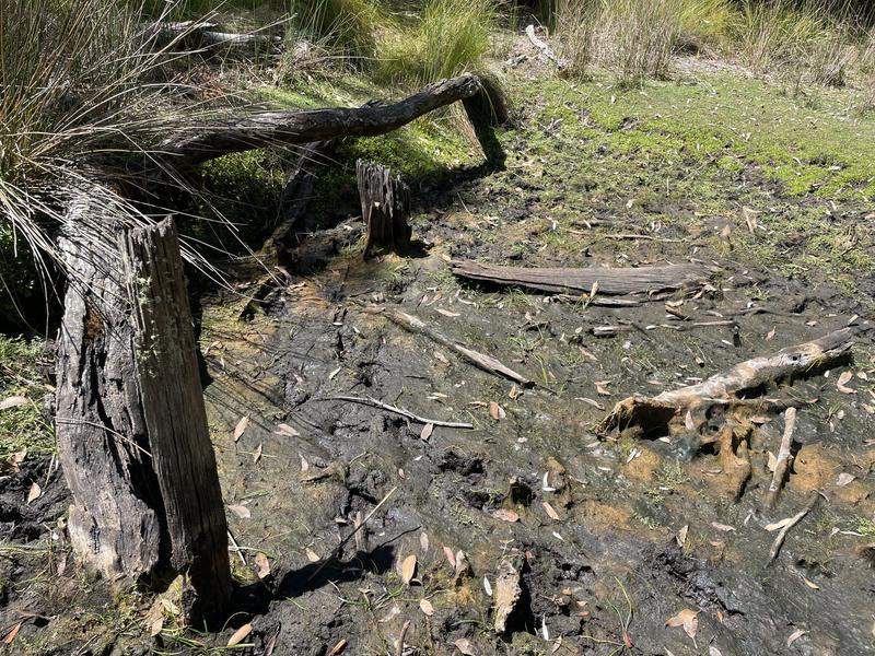
Two of the other guys I met on the trail (also on bikes) had pushed further east than I did and found water which they sat over but never saw anything. Adrian had gone west and had found a small puddle of water on a water hole and was pretty optimistic about his prospects for the next day.
Monday morning I was awake at 4:20am and on the way to Bairnsdale by 5:00. I drove straight through and made it to the briefing with just a couple of minutes to spare before the 8:30 start time. Interestingly one of the hunters balloted for Blond Bay was a no-show, so they were down one hunter before they started. The briefing is mandatory, so even if he arrived later he could not hunt in the balloted area.
Not much to say about the briefing. We heard from Game Management Authority, Parks Vic and the guy from the hog deer check in station (mandatory check-in of any hog deer taken). They did mention that a private property bordered the hunting area in the east side of the property and that it was well signposted and to make sure we didnt enter any part. The owner is very pedantic and has cellular cameras all over the property. The Parks Vic people said there was a lot of signage that they had posted to delineate the hunting area and that it would be pretty clear on the boundaries (this proved to be very false as neither I nor any of the hunters saw a single Parks sign). They were asked if the new area was signposted and added to the "more to explore" maps, and the answer to both was "no". They mentioned that some residents in the new eastern section were not happy about the addition of that part of the island to the hunting area, and if we were confronted by anyone we should not engage and video the person and submit it to GMA for later investigation. The most disconcerting thing to me was several mentions that snakes were very active, and there were multiple sightings of brown snakes sitting on top of tussocks - which would put them roughly at knee to hip height.
The briefing was over in about an hour and we headed off to get to the island. Four of the six hunters had their own transport on and off Boole Poole. That left another hunter Adrian and myself that needed to book transport. That turned out to be harder than we expected as many of the carter operators we approached said they were unable to do it. In the end Adrian found "Gippsland Water Sports" and they proved very good to deal with.
We arrived at the island just before 11:00 am and unloaded. All the others were already there. Our boat could not get as close to the shore as the other smaller craft, but one of the other hunters pushed his boat out and we loaded it up which meant we could get all our gear across in one trip.
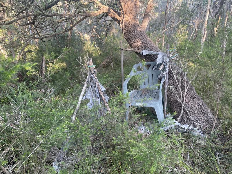
The camping site was mandatory for all of us to camp at. Apparently in prior years it was okay to camp in other locations, but that had been specifically excluded in the briefing. So this meant we had to travel 10km or more east, or 5km or more west to get to the end of the hunting area. On the advice of a friend with a lot of experience, here I bought my son's power assisted mountain bike to help me cover the ground. By the time we were set up at the campground and worked out roughly where we were all heading, it was about 1:00pm. I went east to try to find water holes to sit over. In the briefing Parks Vic did mention that "apparently the road is fairly overgrown". We had a fairly warm week, with temperatures most days with lows of around 60, and highs of around 80. The hottest day was a high of around 90.
This is a view of the road east at the campsite. This proved to be the least overgrown and easiest (relative term) to ride a bike on.
I found the start of the private property and went around it as requested. He had a lot of "keep out" type signage around his whole boundary. Apparently he was flying a drone over the hunters in period one.
My goal was to find water to sit over for the rest of the week. I had a list of GPS coordinates of water holes compiled by my friend and I used this to guide where I looked for water. This proved to be much more difficult than I expected. On the first day, everywhere I looked proved to be dry and inactive.
Some of the countryside on the east side from the shoreline and from the road that afternoon.
The round trip Monday afternoon was around 12km. I was running my GPS as little as possible to preserve battery life so distances are a bit guesstimated. It was tough going and I had sweated a lot. My trip east had been a bust and I was none the wiser at the end of the day.
Two of the other guys I met on the trail (also on bikes) had pushed further east than I did and found water which they sat over but never saw anything. Adrian had gone west and had found a small puddle of water on a water hole and was pretty optimistic about his prospects for the next day.
")
