IronSentinel007
FNG
- Joined
- Apr 7, 2025
- Messages
- 12
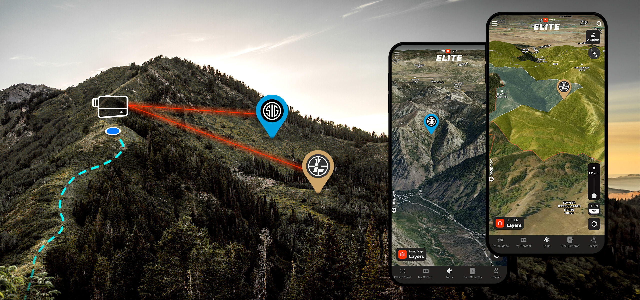
The integration with the Leupold and Sig rangefinders is a real interesting feature. I could see this being super helpful in a number of circumstances in terms of getting a pin: on a target, a glassing location, a stalking line, etc.
Does anyone have any real world experience and does it work?
Does anyone have any real world experience and does it work?