OnX vs Everything Else

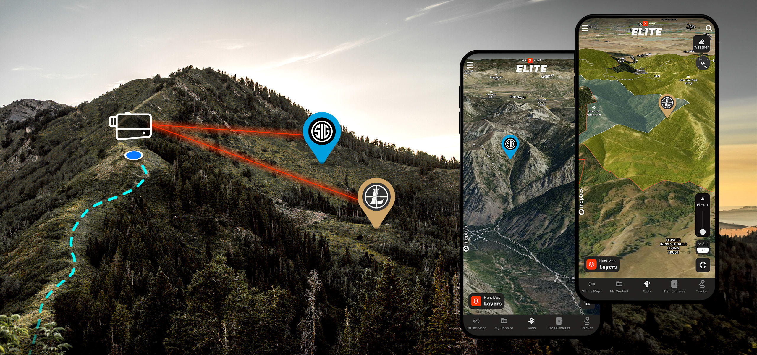
The integration with the Leupold and Sig rangefinders is a real interesting feature. I could see this being super helpful in a number of circumstances in terms of getting a pin: on a target, a glassing location, a stalking line, etc.

Does anyone have any real world experience and does it work?
 
The integration with the Leupold and Sig rangefinders is a real interesting feature. I could see this being super helpful in a number of circumstances in terms of getting a pin: on a target, a glassing location, a stalking line, etc.

Does anyone have any real world experience and does it work?
You mean in OnX right?
 
You mean in OnX right?

Specifically, this is feature I'm referring too:


They have integrations with both Sig and Leupold rangefinders. Not all models but specific models with the Ballistic Data Exchange 2.0 feature.

I'd be interested to hear from in field experience.
 
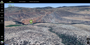
OnX is superior in every way except Gohunts terrain analysis tool. THats literally the only thing I use Gohunt for. Everything else, OnX.
 
OnX, I’m considering dropping GoHunt.

I only use GoHunt for draw odds. Their draw odds seem to funnel everyone into the same units, and I think their predictive draw odds will only amplify this. Also their unit descriptions and typical trophy sizes aren’t updated that often.
 
We (BaseMap) released a hunt planner mid last year. It's currently available in-app on mobile, so the hunt planner is native to the app. We went mobile first and will be releasing desktop/web version soon. So I'll throw our hat in the ring.

Check out the article we just posted on Rokslide (https://www.rokslide.com/basemap-hunt-planner/)
and happy to answer any questions.
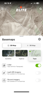
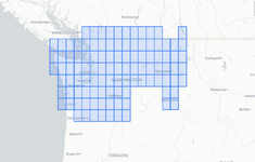
How is your lidar info in Washington?
 
I’ve used them all but keep returning to CalTopo. The paid version lets you download 3d offline maps for your hunt area. Also, you can build your own layers for aspect and elevation etc. it feels less intuitive at first, and doesn’t have hunt specific systems built in, but CalTopo’s offline mapping capability is greater than both of the other options discussed here combined.
 
I use GoHunt and have access to OnX. Kind of a small thing but keeps happening is a lot of the roads on GoHunt have the road name like "Lobo Loop" and OnX has the country road number. I find the county road number to be much easier. Also every warden I have talked with has OnX and it can be difficult with them referencing county roads or other landmarks with different names between GoHunt and OnX.
 
I pretty much agree with what everyone else has said. I’ve been using GOHUNT for a couple years, and I definitely prefer OnX maps.

I love all the research tools that GOHUNT offers. And they always have promo codes when you renew your membership, so you can get $50-$100 of gear from the shop.

OnX is also much better about updating landowners on parcels that sold recently
 
Back
Top