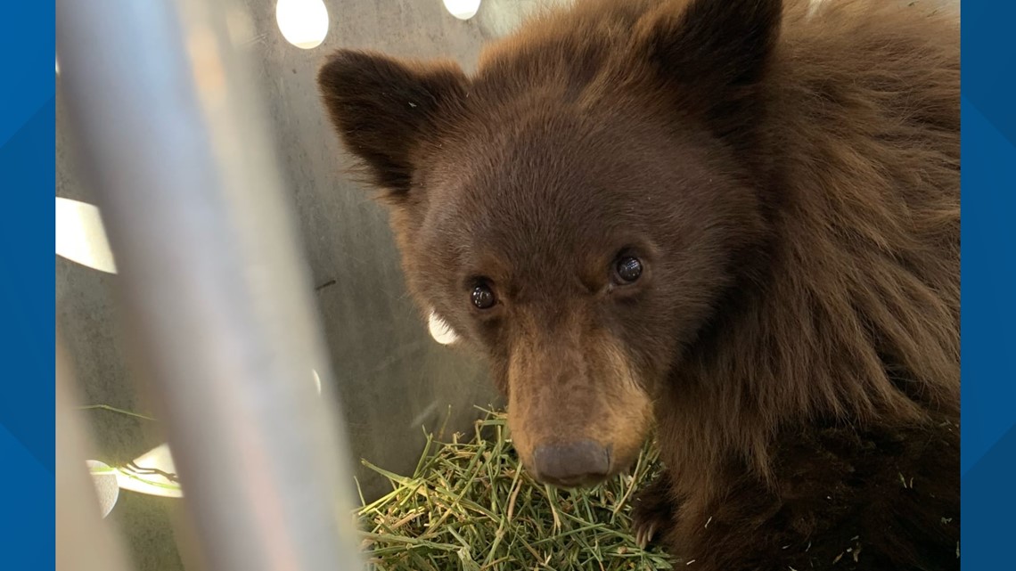
Drew a muzzy bear tag for 43 in CO. Currently thinking that Coal Basin (east of Huntsman’s Ridge) would be a good start. Any idea what elevation they will be at around that time? I was thinking around 8k, focus on riparian (Coal Creek) areas and berries. Any insight would be a big help. I’ll head out to scout a couple of times between now and then.
Navigation
Install the app
How to install the app on iOS
Follow along with the video below to see how to install our site as a web app on your home screen.
Note: This feature may not be available in some browsers.
More options
Style variation
You are using an out of date browser. It may not display this or other websites correctly.
You should upgrade or use an alternative browser.
You should upgrade or use an alternative browser.
Colorado 43
- Thread starter Dadnstuff
- Start date
30338
WKR
- Joined
- Jun 2, 2013
- Messages
- 2,147
If you can find food sources, you'll find bears. Have not hunted the unit, but berries are great if you find them. Also any oak brush if there is any there will hold them. Good luck!
30338
WKR
- Joined
- Jun 2, 2013
- Messages
- 2,147
I just cruised over 43 on ONx. Looks like a ton of oak brush and berries at the 7800 elev mark. I'd find thickets along any of the creeks. My preferred is to find spots you can glass from one canyon wall over to the other side. Often times you can see them moving branches and get a shot. I am hearing its a decent berry year so between choke cherry thickets and oak brush with acorns, you should find bear sign.
I did not find any remote ponds in the area, but a good look on Onx might turn some up. If you find any, check them for tracks for sure. You should be in bears in there though based on the amount of food sources I was seeing.
I did not find any remote ponds in the area, but a good look on Onx might turn some up. If you find any, check them for tracks for sure. You should be in bears in there though based on the amount of food sources I was seeing.
My home WMU. Sadly, I have a tag for 47 this year.
Lots of bears in 43. I think the advice above, getting up on a ridge where you can glass the lush drainages will be a good strategy. We often see bear at dusk working through the thick brush next to streams.
If you get desperate, drop me a pm. I know a watering hole that seems to get a lot of bear traffic, at least later in the season.
westslopelaker
Lil-Rokslider
Hunt the avalanche campground, it just got closed through labor day because of bears breaking into tents. It's right there across the road from coal basin.

 www.9news.com

Campground closed through at least Labor Day after tent destroyed
The Avalanche Campground will be closed until at least through the Labor Day weekend.
That’s crazy haha. I will scout the area.Hunt the avalanche campground, it just got closed through labor day because of bears breaking into tents. It's right there across the road from coal basin.

Campground closed through at least Labor Day after tent destroyed
The Avalanche Campground will be closed until at least through the Labor Day weekend.www.9news.com
Thanks. I’ll shoot you a DM.My home WMU. Sadly, I have a tag for 47 this year.
Lots of bears in 43. I think the advice above, getting up on a ridge where you can glass the lush drainages will be a good strategy. We often see bear at dusk working through the thick brush next to streams.
If you get desperate, drop me a pm. I know a watering hole that seems to get a lot of bear traffic, at least later in the season.
Sounds like if you get up high and glass to find find other camps you might be in luck. Backpackers like to hike early and late in the day because the instagram lighting is the most optimal. Their food will be most vulnerable at that time you should have luck spotting a bear ravaging a tent and have a clear shotThat’s crazy haha. I will scout the area.
Just trying to save their stash of candy bars. It’s basically a public service ;-)Sounds like if you get up high and glass to find find other camps you might be in luck. Backpackers like to hike early and late in the day because the instagram lighting is the most optimal. Their food will be most vulnerable at that time you should have luck spotting a bear ravaging a tent and have a clear shot
Similar threads
Featured Video
Latest Articles
- TT#64 Josh Boyd Elk Hunting Strategies for Every Season
- Aaron Davidson of Gunwerks
- TT#63 Dirk Durham’s Art of Elk Calling
- BIG Buck Stories with the Dirty Giants Podcast
- TT#62 Brian Barney Hunting Bulls without Calling
- Hoyt Alpha AX-2 SD Review
- Kuiu Kenai vs Outdoor Vitals Vario Hooded Jacket Review
- Hoyt RX-9 Ultra Review
- Hunting Vampire Bucks & Building an Optics Kit
- Darton Sequel ST2 35 Review
