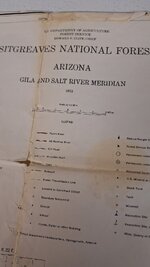
I too keep old maps. I used to have about nine Canadian maps taped together on my bedroom wall with a 6 week canoe trip mapped out. I still have gazetteers for when gps maps on the phlatphone don't work.
One of the better things about our Federal Government is that they are often so incompetent that the left hand doesn't know what the right hand is doing. So, while the new maps exclude older unmaintained trails, double tracks, roads, caves, and springs,
Historical USGS Topo maps can be downloaded here. (I know they are not exactly the same as FS or BLM Land use maps.)
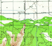
@AZ8 I think this snapshot from the Cashion/Avondale AZ 15min topo (1946) below, which I just downloaded is on your FS map. It's over by the Phoenix International Raceway, which currently takes up the south half of Section 36 and the north half of Section 1.
View attachment 912668
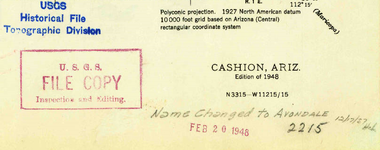
View attachment 912681


