You are using an out of date browser. It may not display this or other websites correctly.
You should upgrade or use an alternative browser.
You should upgrade or use an alternative browser.
Forecast at Elevation
- Thread starter bozeman
- Start date
yfarm
WKR
Santa Fe Baldy Weather Forecast (3847m)
Santa Fe Baldy, Sangre de Cristo Range, Rocky Mountains (USA), United States Mountain weather forecast for 3847m. Detailed 6 day mountain weather forecast for climbers and mountaineers.
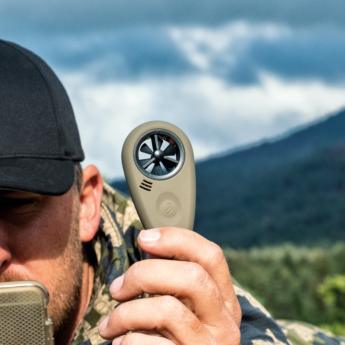
Not sure what you want to know. Weatherbug or NWS on my phone is what I use. OnX also gives the current weather. No cell data available then the in-reach gives the weather forecast and current conditions. For current conditions where I am standing, for shooting, I use the Weatherflow then Bluetooth the enviro data to Strelok Pro on my phone. Strelok Pro is more hunter friendly then the other BAs.

 shop.weatherflow.com

WEATHERmeter for Precision Shooting
This tactical WEATHERmeter allows shooters to capture a complete on-site atmospheric profile including wind speed, wind direction, temperature, pressure, relative humidity, and density altitude.
 shop.weatherflow.com
Your only going to get weather data when you have a cell phone signal from the closest weather station which are generally close to a populated area, there is no magical way to get the weather for where you are standing on the mountain.
About the best you can do is figure out what source your weather app used for its data then find the closest weather station supplying this data. With this info you will be able to determine the difference in elevation between your location and the weather station as well as any topography that might effect weather patterns so you can make an educated guess what might be happening where you are standing.
About the best you can do is figure out what source your weather app used for its data then find the closest weather station supplying this data. With this info you will be able to determine the difference in elevation between your location and the weather station as well as any topography that might effect weather patterns so you can make an educated guess what might be happening where you are standing.
This might help.
 www.mountain-forecast.com
Mountain Weather Forecasts
Mountain weather forecasts for over 12000 mountain summits around the world. Detailed 6 day hill, mountain and summit forecasts for up to 5 different elevations per mountain. The comprehensive weather resource is aimed at climbers, mountaineers, hillwalkers, hikers or outdoor enthusiasts...
HighUintas
WKR
- Joined
- Feb 2, 2020
- Messages
- 2,734
The link above is good. You can also use the forecast on the NWS site. Type in a town nearby and then go to the map on the forecast page and click on the map where you will be. It will give a forecast for elevation in that location. It's fairly accurate
Whaledriver
WKR
I personally like Weather Underground. Pick a close station to get a general idea. Figure 2 to 3 degree temp change per 1000'. Know that an inch of rain forecast could be 12" of snow if the temp is low enough. A true 100% mountain forecast is similar to stock market and lottery numbers. The worst weather I ever saw at 10000' during September in Colorado. The forecast never showed over a 10% chance of precip in 7 days. We saw rain, sleet, hail, wind and 12" of snow that week.
Jaquomo
WKR
- Joined
- Apr 27, 2012
- Messages
- 419
Weather Underground for me. I live in the NoCo mountains at 8600'. A weather event might miss us but three miles away they can experience a frog strangling rain, hail, lightning, microbursts, flash floods, the usual.. We might get 8" of snow in September but over the ridge they only get flurries. Weather Undergeound has a bunch of amateur weather station folks, and predict based on collective info. It is as close as any. MyRadar is another good app to have.
Similar threads
- Replies
- 15
- Views
- 630
- Replies
- 44
- Views
- 3K
- Replies
- 15
- Views
- 978
Featured Video
Stats
Latest Articles
-
T&K Gen 3.1 Bino Harness Review
-
Seek Outside Twilight 3P Tent Review
-
Montana Knife Company Culinary Set Review
-
Get Better Mule Deer Hunting
-
KUIU Upland Field Vest Review
-
WE WON!
-
Mule Deer Rut Update & Buck Story
-
Sitka Gear HyperDown Sleeping Bag Review
-
TT#42 Mark Denham with Outdoorsmans history and innovations.
-
Kryptek Traverse Merino Review
