 Review: Novagrade Ranger App
By Les Welch, Rokslide Staff
This past April, I purchased the Novagrade Ranger App for my iPhone. I’d never used any digiscoping adapters or apps, so this would be a new experience for me. The Ranger App takes and stores photos which are then geotagged with coordinates of the picture location, and of the target’s location.
Here’s the nuts and bolts of the system:
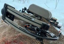
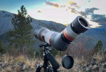
- Digiscope phone adapter (above)
- Your phone
- The Novagrade Ranger App, available in the App Store.
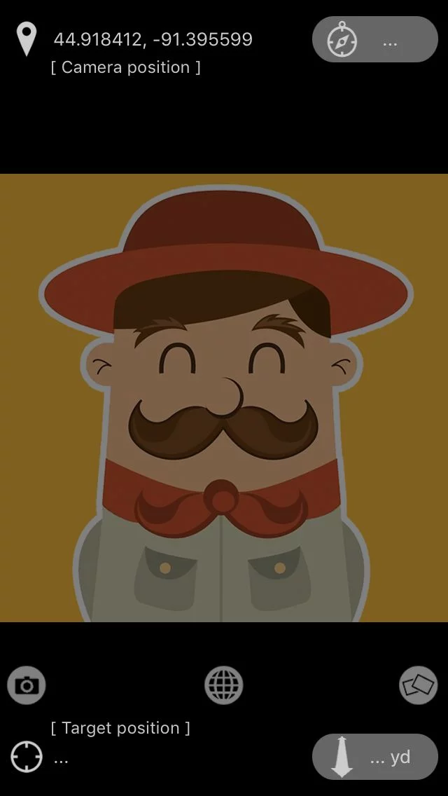
During turkey season I used it with my phone only. It seemed to be pretty neat. I could snap a picture and it would show my gps location in deg/min/sec. Cool! After turkey season I went back to take a look at those pictures. I couldn’t find any pictures with GPS locations? Somehow I must have erased them.
There were no directions and I didn’t really understand what the app was supposed to do. Fast forward a few months, and I took everything out to look for some deer. After capturing some pictures, I still couldn’t find them anywhere. They would show up on the screen of my camera when I took the pic, but they didn’t appear to be saving anywhere to the camera roll. It was time to enlist the help of some tech giants, a.k.a—my kids. They searched through my albums, and other possible places, but the pictures weren’t there. After some back and forth with Doug at Novagrade I was able to figure it out. Once the picture was taken I had to export it out of the app and into my camera roll (simple enough and something that instructions could easily have fixed).
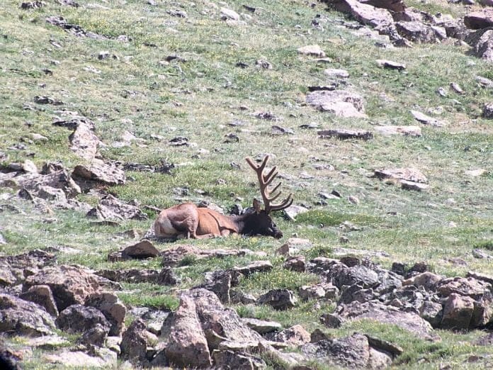
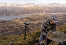
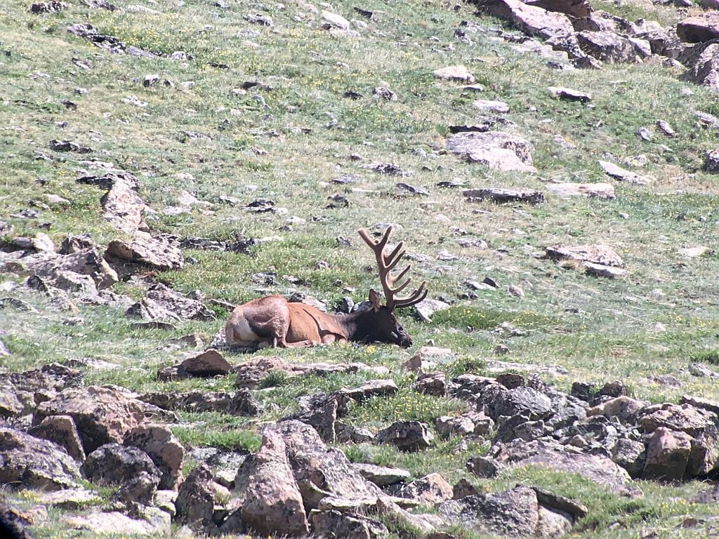
I just got back from a trip in Colorado where I was able to test out the adapter and app a little more extensively. Glassing from 12k’ I set up the spotter and got ready. After a bit, I was able to start snapping some pics of a muley doe. Export them to the camera roll, good to go. Later I went into the camera roll and looked at the pics. They turned out great. Only problem, none of the coordinates, bearings, or distances showed up?!
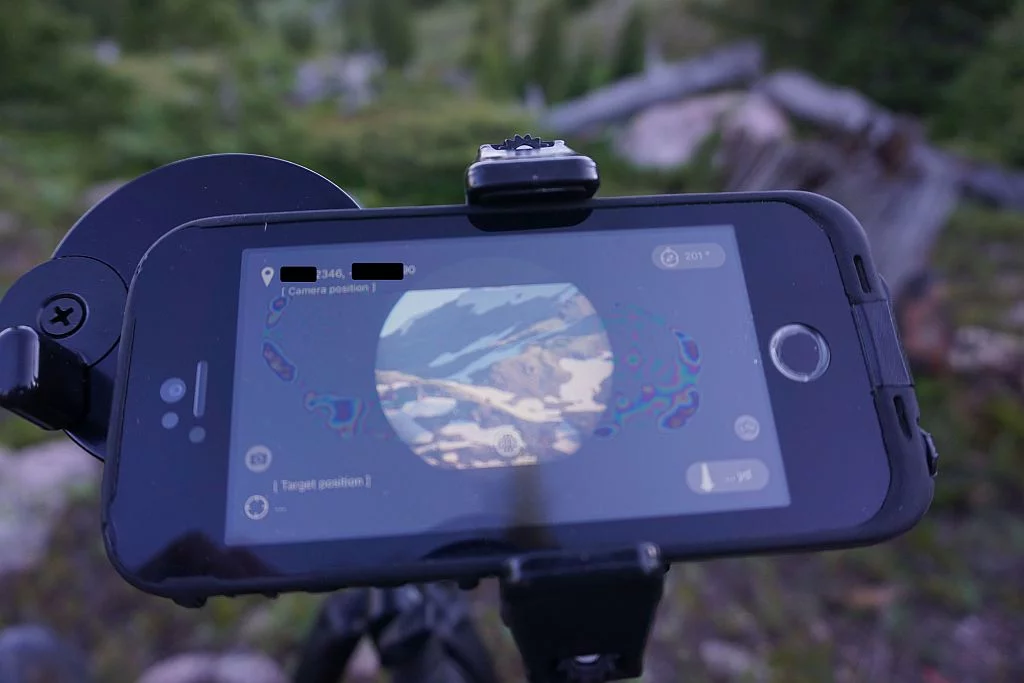
Once home I spent more time tinkering with it. It was a little frustrating as none of the information would show up on the pictures. I opened the app and then opened the picture and voila, there was the info. Once the app exports the picture to camera, text, email, Facebook, etc, the info is not visible. Once it’s reopened in the app, it’s all visible. I think it’s both good and bad. It would be nice if anytime the picture was opened it would show the info. For sharing purposes it’s also good that it’s hidden. Now I can share the pictures online, or via text, and not have my coordinates visible to the receiving party. The downside to this is for the price of the app, $4.99, anyone can download the app and then open any of the pictures and see where they were. Maybe there’s a fix for this?
How I can see it being used. As I’m sitting on my glassing rock, I spot a bedded buck through my spotter. I range him at 346 yards at a compass bearing of 296°. After zooming in the spotter, I click the camera button on the app and capture the picture. Now I have the buck’s position. I need an approach route and there’s some good landmarks. I follow the same process marking the planned route. I can grab picture 1 (first approach landmark) and put it in waypoint 1. Then I grab the buck picture and put it in waypoint 2. The app automatically gives me the distance between the two, and the heading to the buck. It’s very similar to how I currently navigate tracks that I create on my handheld GPS. The biggest advantage I see here is I’m able to do all of this with a spotter and rangefinder while in the field on live animals and have a picture of the said waypoint for reference. It’s also pretty handy to take a picture of certain features like a wallow, heavy trail intersection, bench, or bedding area and have the coordinates right there available. I input the coordinates on my gps and head to it.
Pros:
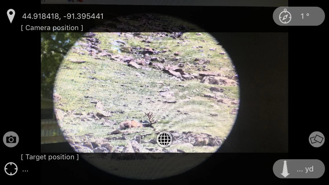
- Lat/Lon is displayed once the camera is opened up in the app.
- Easy to snap the picture, and the quality is good. It has a distance and bearing feature from one waypoint (picture) to another.
- Shared pictures, opened in the app, could share locations with friends who are app users.
Cons:
- Three step process to save the picture. I’m not a tech guy, but it would be nice if the app could save it directly to the camera’s storage area.
- It would be ideal if the picture would show lat/lon, without having to be opened in the app.
- Shared pictures opened in the app could give away your locations.
- Some hunters will find the utility of the Novagrade Ranger App a must have, and for the cost, you just about can’t lose. Available in the App Store.
You can ask Les questions or discuss this article here. You can also follow Les’s preparation for the 2017 hunting season here
Novagrade also makes a high quality, very adaptable digiscoping system. Buy once and adapt to all your optics. Read the reviews here:
Versatility in Digiscoping, by Justing Crossley
&
Novagrade Phone Adapter, by Matt Cashell


